About
Welcome to my personal page, highlighting some of my research and related endeavors. I have experience working across diverse roles, including remote sensing scientist, biodiversity conservationist, and environmental science educator.
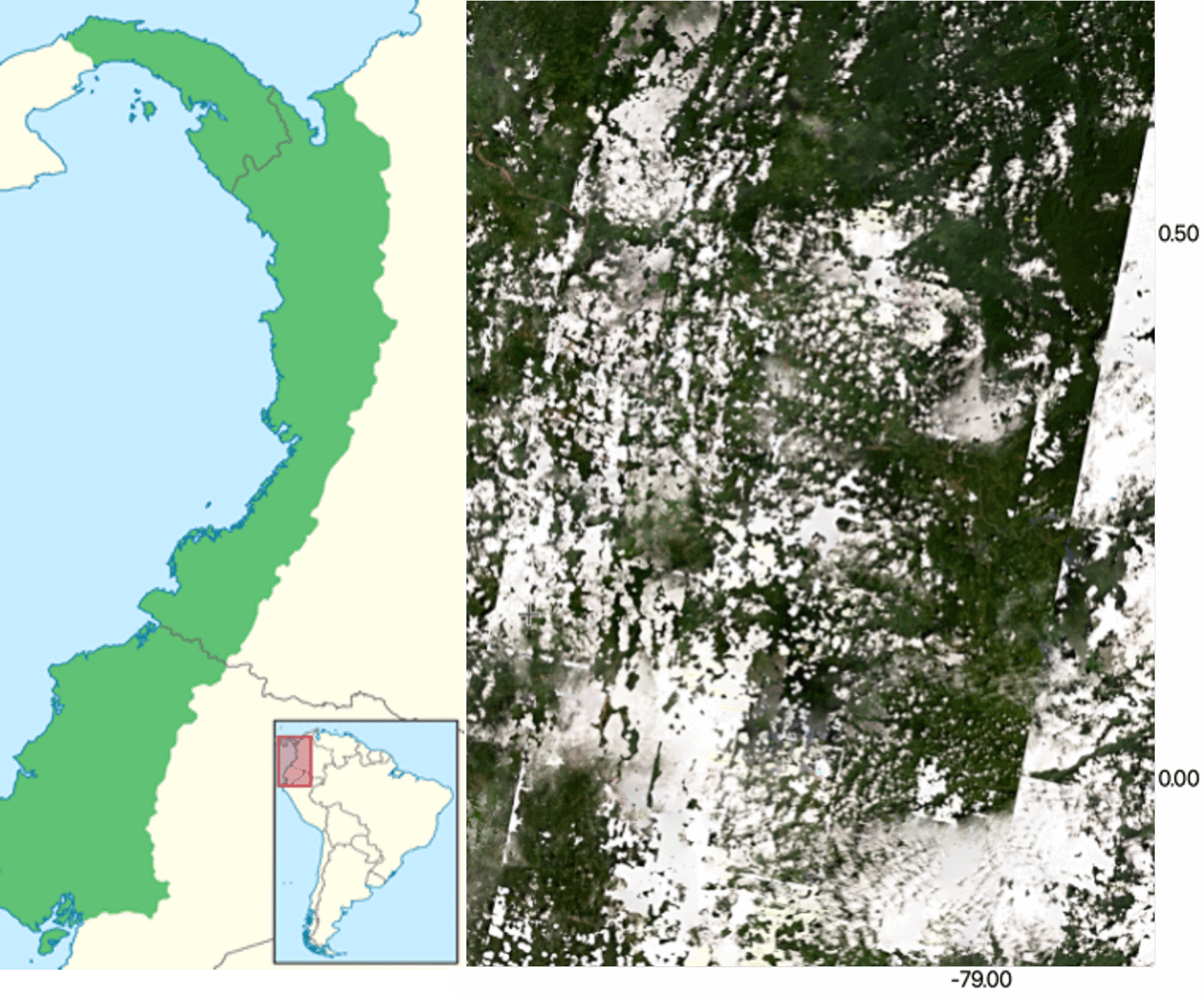
My research focuses on developing environmental monitoring capabilities from Synthetic Aperture Radar (SAR), optical/IR, and Lidar imagery acquired by satellites and drones. Some of my projects include:
- Assessing the degradation and recovery of tropical forests to evaluate nature-based climate solutions
- Monitoring crop health and developing agricultural inventories to guide sustainable ESG strategies
- Fusing ecosystem and landcover data from diverse sources to identify priority regions for biodiversity conservation
If you would like more information on these projects or are interested in collaborating, please send me an email.